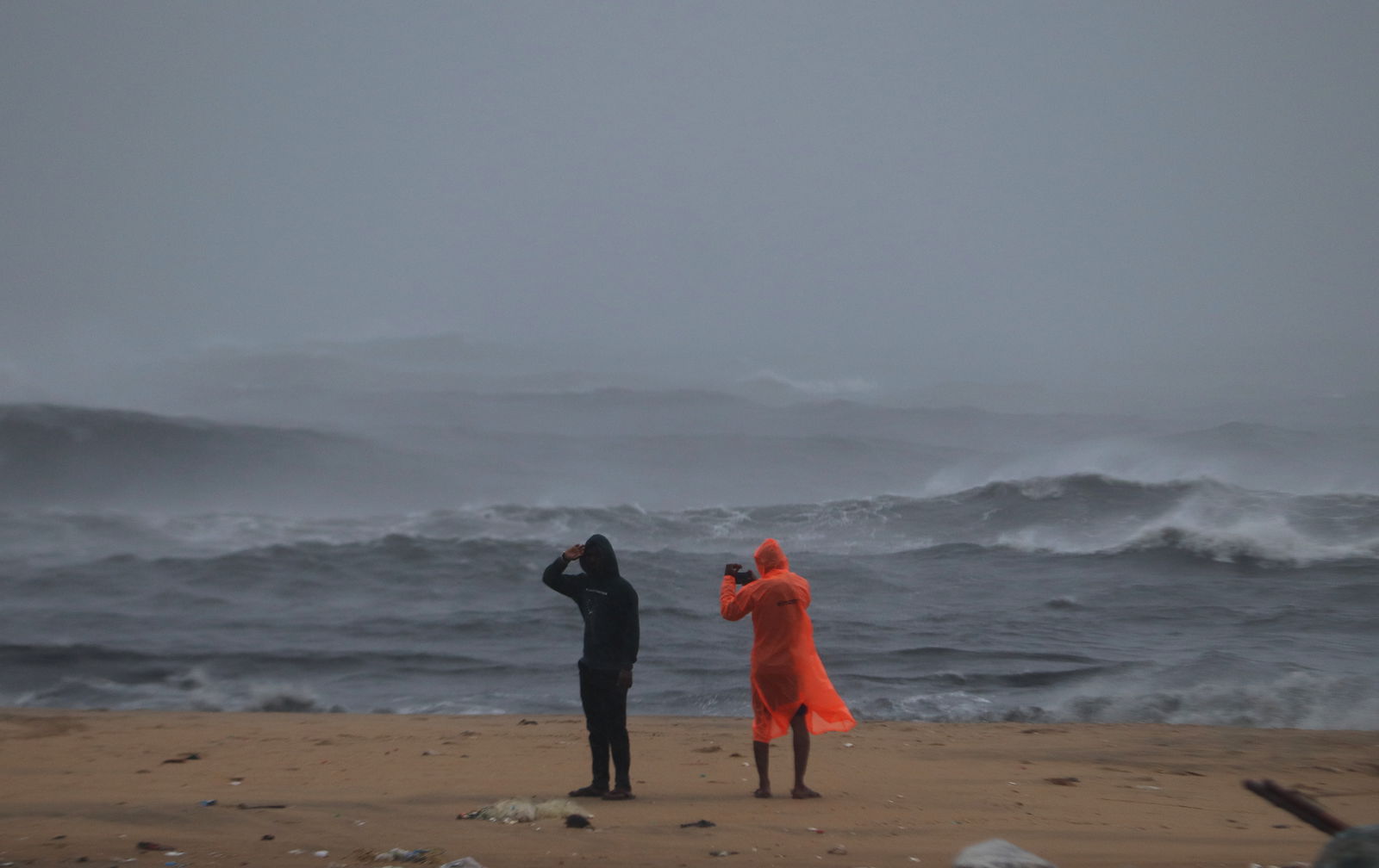
A low-pressure area over the Bay of Bengal is getting stronger and is likely to turn into Cyclone Senyar in the next 24 hours. This may cause rough seas, strong winds and heavy rain around the Andaman Sea.
The system is moving in a west-northwest direction and may bring rain to Tamil Nadu, Kerala and the Andaman and Nicobar Islands over the next few days. The IMD has advised people to avoid sea travel, keep essentials ready, follow official updates and move to safe places if needed.
Where will heavy rain occur?
The IMD says the Andaman and Nicobar Islands will get heavy to very heavy rain from November 25 to 29.
Tamil Nadu, Kerala, Mahe, Lakshadweep, coastal Andhra Pradesh and Yanam are also likely to get heavy to very heavy rainfall.
If the system over the Strait of Malacca and the nearby South Andaman Sea becomes stronger, some coastal districts of Odisha may get rain between November 25 and 27. IMD scientist Sanjeev Dwivedi told ANI that the system would move “in a west-northwest direction.”
ALSO READ | Why are Sundari trees facing an existential crisis in the Sundarbans? Global study reveals alarming findings
Cyclone Senyar intensifies
The system may intensify and become Cyclone Senyar on November 26. The name ‘Senyar’, given by the UAE, means ‘lion’, this is next on the cyclone list for the North Indian Ocean.
Meanwhile, another weather system is forming in the Bay of Bengal. A deep depression near the Sri Lanka coast has strengthened, and the IMD says it is "very likely to intensify into a cyclonic storm within 12 hours". The IMD has asked the coastal areas of Tamil Nadu and Andhra Pradesh to stay alert. Reportedly, it will be named Cyclone 'Ditwah'.


