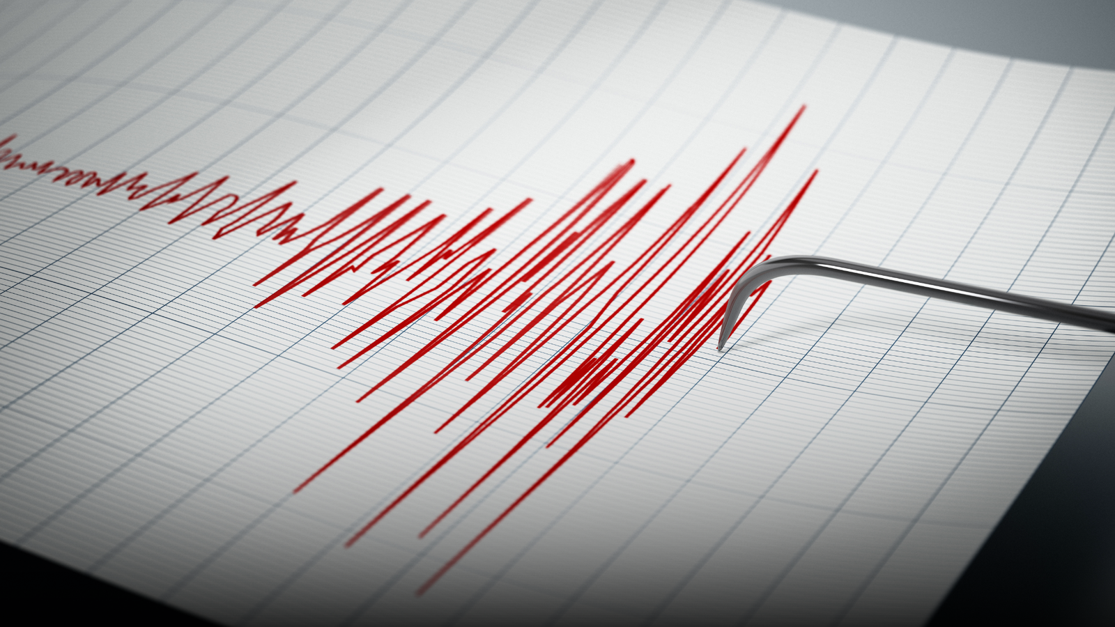
Leh in Ladakh was shaken by a 4.8 magnitude earthquake on Friday morning, marking the third tremor in the region within a span of a few hours.
According to the National Centre for Seismology (NCS), the earthquake struck at 10:23 am at a depth of 44 km. The epicentre was located near Leh, with coordinates recorded at latitude 36.800 N and longitude 74.608 E.
Also Read | IRCTC launches Bharat Gaurav Train for South India pilgrimage tour
In a post on X, the agency said, “EQ of M: 4.8...Location: Leh, Ladakh.”
No immediate reports of damage or casualties were available at the time of publishing.
EQ of M: 4.8, On: 27/03/2026 10:23:02 IST, Lat: 36.800 N, Long: 74.608 E, Depth: 44 Km, Location: Leh, Ladakh.
— National Center for Seismology (@NCS_Earthquake) March 27, 2026
For more information Download the BhooKamp App https://t.co/5gCOtjdtw0 @DrJitendraSingh @OfficeOfDrJS @Ravi_MoES @GSuresh_NCS @ndmaindia pic.twitter.com/HjSkN1DOgC
First and second tremor recorded earlier in the morning
The latest quake follows an earlier tremor of magnitude of 3.9 and 4.7 that struck the same region at 8:31 am and 10:10 am. That earthquake occurred at a depth of 10 km and later at a depth of 28 km, according to the NCS.
All the tremors fall under the category of shallow earthquakes, which typically occur at depths of up to 70 km beneath the Earth’s surface.
As per data from the United States Geological Survey, shallow earthquakes are generally felt more strongly on the surface compared to deeper ones, even when their magnitude is moderate.
Also Read | Tragic crash in Madhya Pradesh leaves 10 dead, 35 injured in bus-truck collision
Understanding earthquake depth
Earthquakes are classified based on how deep they originate. Shallow quakes occur between 0 and 70 km, intermediate ones between 70 and 300 km, and deep-focus earthquakes occur at depths beyond 300 km.
The two tremors recorded in Ladakh on Friday fall within the shallow category, which can lead to noticeable ground shaking in nearby areas.