The weather in Delhi has been unusually unpredictable, shifting from dusty mornings to rainy evenings within hours. If it feels confusing, it's because the atmosphere over the capital has been unusually active.
A day of dramatic changes
Friday saw multiple weather events unfold in quick succession, according to the India Meteorological Department (IMD).
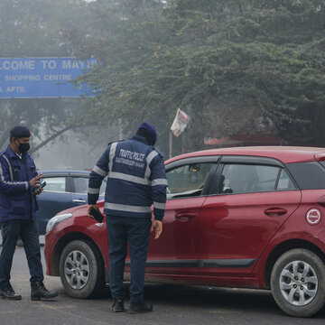
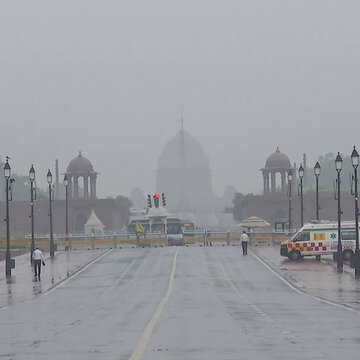
The day began with strong winds exceeding 20 kmph, triggering a dust storm that reduced visibility across parts of the city. Air quality also worsened, slipping into the "poor" category with an AQI of 266, compared to 194 the previous day.
Also Read | Delhi under weather alert: IMD predicts heavy rain and thunderstorms today, orange alert issued
By afternoon, conditions eased slightly. Winds slowed, cloud cover increased, and temperatures dipped, offering some relief from the earlier dust-laden air.
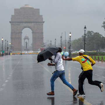
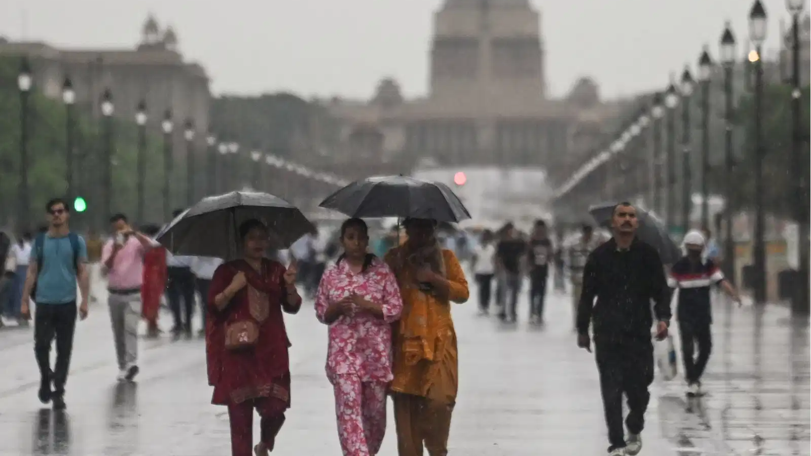
The evening brought a more dramatic turn. Rain began around 5 pm and intensified into moderate showers by 8 pm, accompanied by gusty winds and lightning. Later in the night, the IMD issued an orange alert, warning of thunderstorms and wind speeds reaching 40-50 kmph.
The role of western disturbances
The key driver behind this unstable weather is a system known as a western disturbance. Originating over the Mediterranean region and Central Asia, it carries moisture towards northwestern India.
As it interacts with the region's typically warm and dry air, it creates conditions for cloud formation, rain and dust storms.
Mahesh Palawat of Skymet was quoted as saying by News18 that during the pre-monsoon months of March and April, such systems can generate strong thunderclouds, which often lead to hailstorms and lightning. Recent activity over Rajasthan and Haryana has also influenced Delhi's weather pattern.
According to the weatherman, two successive western disturbances are responsible for the current spell, with heightened activity around April 3-4 and again near April 7.
What lies ahead
The unsettled conditions are expected to continue briefly. Over the weekend, Delhi may see cloudy skies, light rain, thunderstorms and strong winds. Daytime temperatures are likely to stay between 29-31 degree Celsius, slightly below normal.
Also Read | MCD’s stray animal plans hit roadblocks amid coordination gaps
Another spell of rain is expected around April 6-7 as the second system passes through.
A western disturbance can be understood as a moving pocket of moist, unstable air. As it passes, it disrupts local conditions, bringing dust, rain, and cooler temperatures in rapid succession. Once it clears, calmer weather is likely to return, at least for a while.