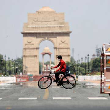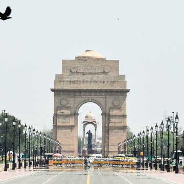
Delhi saw another very hot day on Monday, even as weather officials pointed to a gradual dip in temperatures over the next few days. The India Meteorological Department (IMD) has indicated a chance of light rain and cloud cover starting Tuesday, which may offer some relief from the ongoing heat spell.
The capital continued to experience above-normal temperatures across several stations. Safdarjung, considered the city’s base observatory, recorded a maximum of 42.3C, which is 3.3C higher than usual. The Ridge station in north Delhi was hotter at 43.8C, around 4.3C above normal.
Despite the rise, conditions did not meet the official heatwave threshold, similar to Sunday. The IMD defines a heatwave when temperatures exceed 40C and are at least 4.5C above normal, or exceed 45 C.
Also Read | Heatwave triggers spike in Delhi fires, firefighter injured in NW blaze
Dust storm brings evening shift in weather
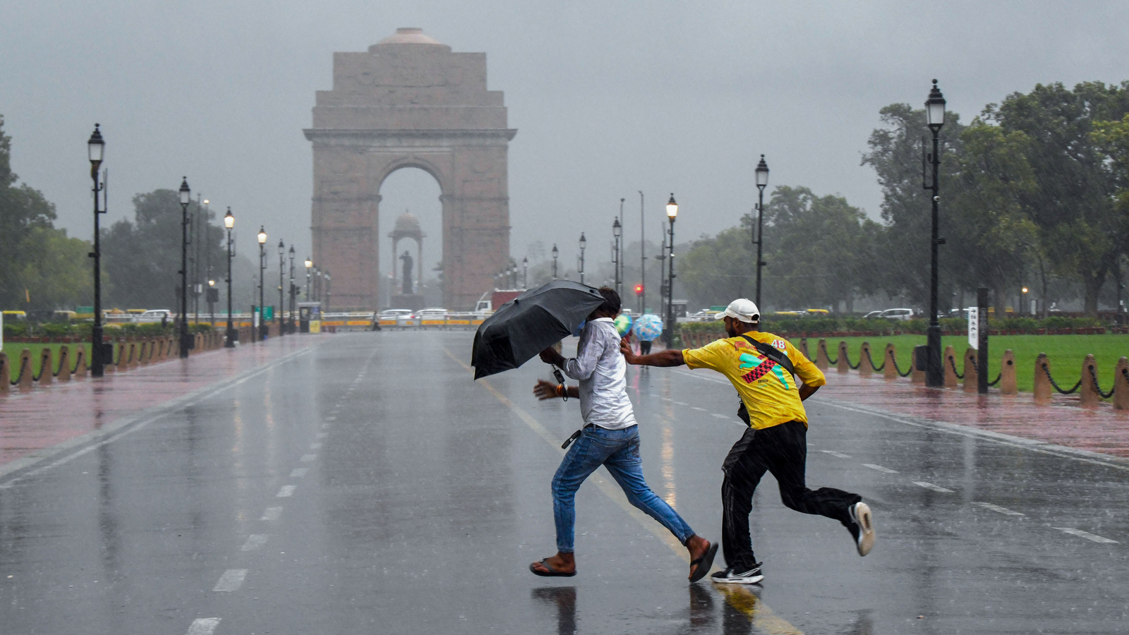
Weather conditions changed later in the day as strong winds and dust swept through parts of the city between 8 pm and 9 pm. Earlier in the evening, around 7 pm, the IMD had issued an alert warning of gusty winds and possible light rainfall. However, no rain was recorded till late at night.
According to officials, wind speeds reached up to 61 kmph at Pragati Maidan, while Pusa recorded gusts of 54 kmph.
Rain likely to bring gradual cooling
The IMD has forecast partly cloudy skies for Tuesday, with chances of drizzle in isolated areas. A yellow alert has also been issued for Wednesday, when one or two spells of light rain along with winds up to 50 kmph are expected. This could bring daytime temperatures below 40C.
“Temperatures are likely to dip from Tuesday, with chances of drizzle to very light rain on Tuesday and light rain on Wednesday. The maximum should return close to normal and even below normal by Thursday,” an IMD official said.
Officials added that this cooling trend may continue till Thursday, with temperatures likely to stay between 39C and 41C until at least May 3.
Also Read | Mumbai-Solapur Vande Bharat coach derails while entering Pune station, no one hurt
Weather system behind the change
Mahesh Palawat, vice-president at Skymet, explained the shift in conditions. “On Monday, we already saw some rain in Rajasthan and it will move to Delhi, via Haryana, by Tuesday. More rain is likely on Wednesday and remnants of this spell are likely on Thursday too. In addition to the cyclonic circulation, some moisture is also being fed by the Arabian Sea and the rain will lead to temperatures dipping below 40C again,” he said, adding that there is a possibility of some more pre-monsoon showers on May 5 as well.
Heatwaves not unusual in April
April heatwaves are not uncommon in Delhi. The city had already seen a citywide heatwave on Saturday, the hottest day so far this year, when the Ridge station recorded 44.5C and Safdarjung touched 42.8C. Earlier, similar conditions were recorded between Thursday and Friday in isolated areas.
In previous years, April has often brought intense heat. There were three heatwave days between April 7 and 9 last year, while April 2022 recorded 11 such days. April 2017 saw four heatwave days, and April 2016 had one.