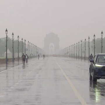
A strong Western Disturbance is set to affect large parts of northwest and central India over the next few days, with the India Meteorological Department warning of intense rainfall, thunderstorms and hail in several regions. According to the IMD bulletin issued on April 1, the system will be most active on April 3 and 4, with isolated heavy rainfall likely over the Kashmir Valley on April 3.
The weather office has also indicated that a wet spell accompanied by thunderstorms and lightning may continue across central India until April 6. Isolated hailstorm activity is expected on April 3. Day temperatures across northwest India are likely to stay near or below normal until April 6.
Unusual weather pattern raises concern
Several parts of the country have already been experiencing cooler-than-usual conditions for this time of year. A similar system in the latter half of March had brought rainfall and lowered temperatures across northwest India, including Delhi-NCR.
Experts say this incoming disturbance could be more intense. Dr. Pradeep, who describes himself as a climate scientist on X, posted, “A powerful Severe Western Disturbance is set to track across Northwest India, passing critically close to the Gujarat and Rajasthan border. This system will trigger a significant spell of extreme weather across multiple states.”
Also Read | Delhi weather update: Rain to continue through weekend, temperatures set to dip
⚠️ SEVERE WEATHER ALERT: Strong Western Disturbance (April 3–5) ⛈️❄️
— 🔴All India Weather (@allindiaweather) April 1, 2026
A powerful Severe Western Disturbance is set to track across Northwest India, passing critically close to the Gujarat and Rajasthan border. This system will trigger a significant spell of extreme weather across… pic.twitter.com/n5nLfYYVR0
He added that Jammu and Kashmir and Ladakh may see heavy rain and snowfall, while Punjab and Rajasthan could experience widespread thunderstorms and gusty winds. Parts of Gujarat are also expected to be affected.
Jet stream pattern behind intensity
Weather observers have pointed to unusual jet stream behaviour as a key factor. Navdeep Dahiya wrote, “jet streams perfectly U-shaped for the upcoming western disturbance starting from 3rd April.”
Jet streams perfectly "U Shaped" for the upcoming western disturbance starting from 3rd April.
— Weatherman Navdeep Dahiya (@navdeepdahiya55) April 1, 2026
Entire north, west #India to experience cold front rains, hails and storms. States in center and southern peninsula to experience intense evening storms.
Too much #weather action for… pic.twitter.com/wjtw045i7d
Mahesh Palawat of Skymet Weather explained that when the westerly jet stream becomes more wavy, it can intensify such systems at lower latitudes. He noted that this pattern has been linked to rapid Arctic warming.
Also Read | 'Operation Sindoor not over yet': Rajnath Singh issues stern warning to 'neighbour'
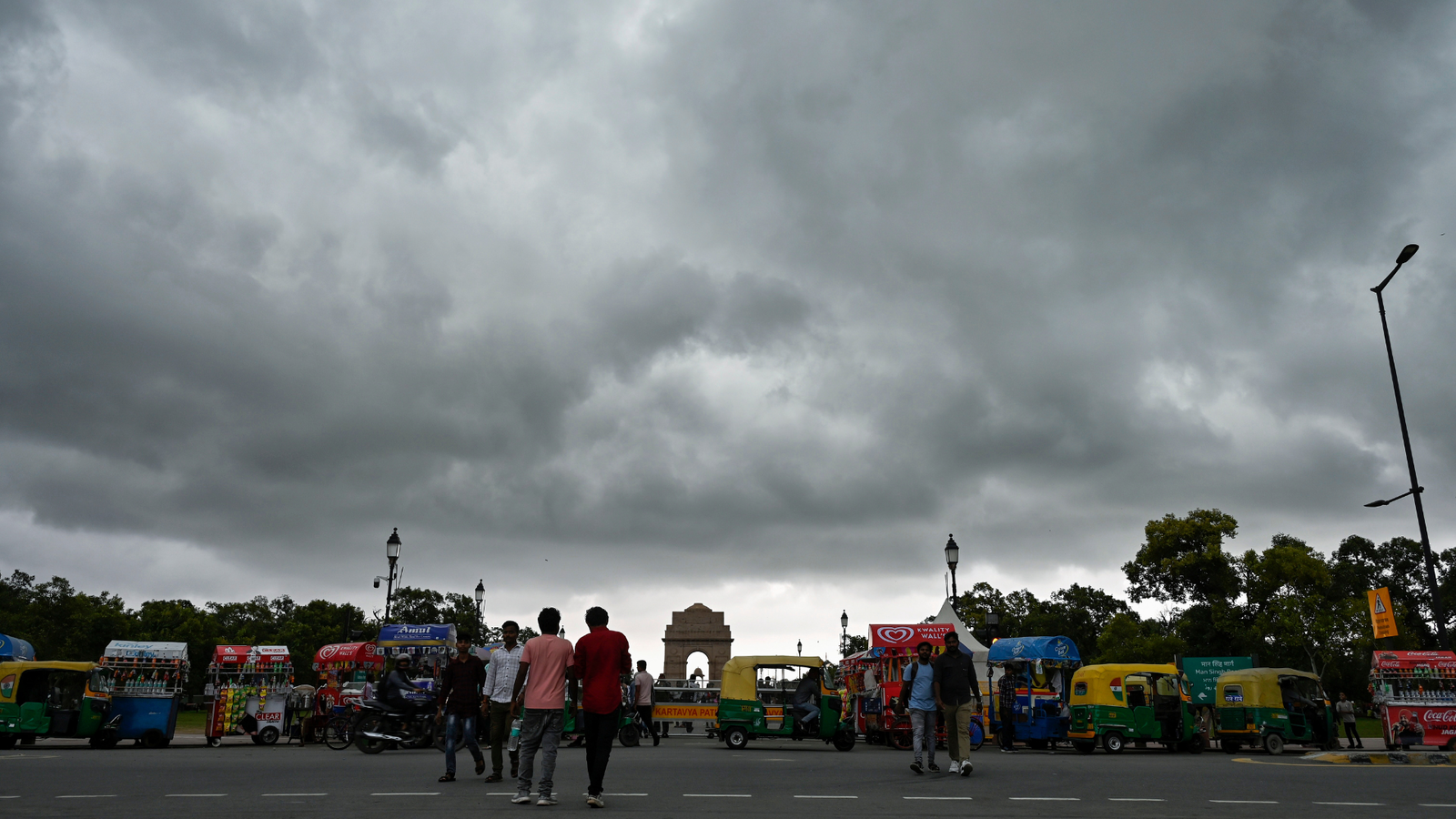
Wider impact across India
Thunderstorms are also likely over Haryana, Delhi-NCR, western Uttar Pradesh, Himachal Pradesh and parts of Madhya Pradesh. Rain and evening storms may extend to Vidarbha, Marathwada, Chhattisgarh, Telangana, Odisha and West Bengal.
Dahiya said, “Entire north, west India to experience cold front rains, hails and storms. States in center and southern peninsula to experience intense evening storms,” adding that this is “too much weather action for the third driest month of the year”.
March recorded eight western disturbances, above the usual five to six. At least three more are expected by mid-April. After this active phase, experts suggest that summer conditions may begin to strengthen in the second half of April.