It had been exactly twelve days. Saturday, October 4, saw another round of intense rain in Kolkata following the night of September 22. Meteorologists are once again blaming the cumulonimbus clouds, which caused the cloudburst two weeks ago, for this. A layer of clouds at least 12 kilometres thick is thought to have accumulated over Kolkata on Saturday night. This led to the sixth 'heavy rainfall' of the season in the city.
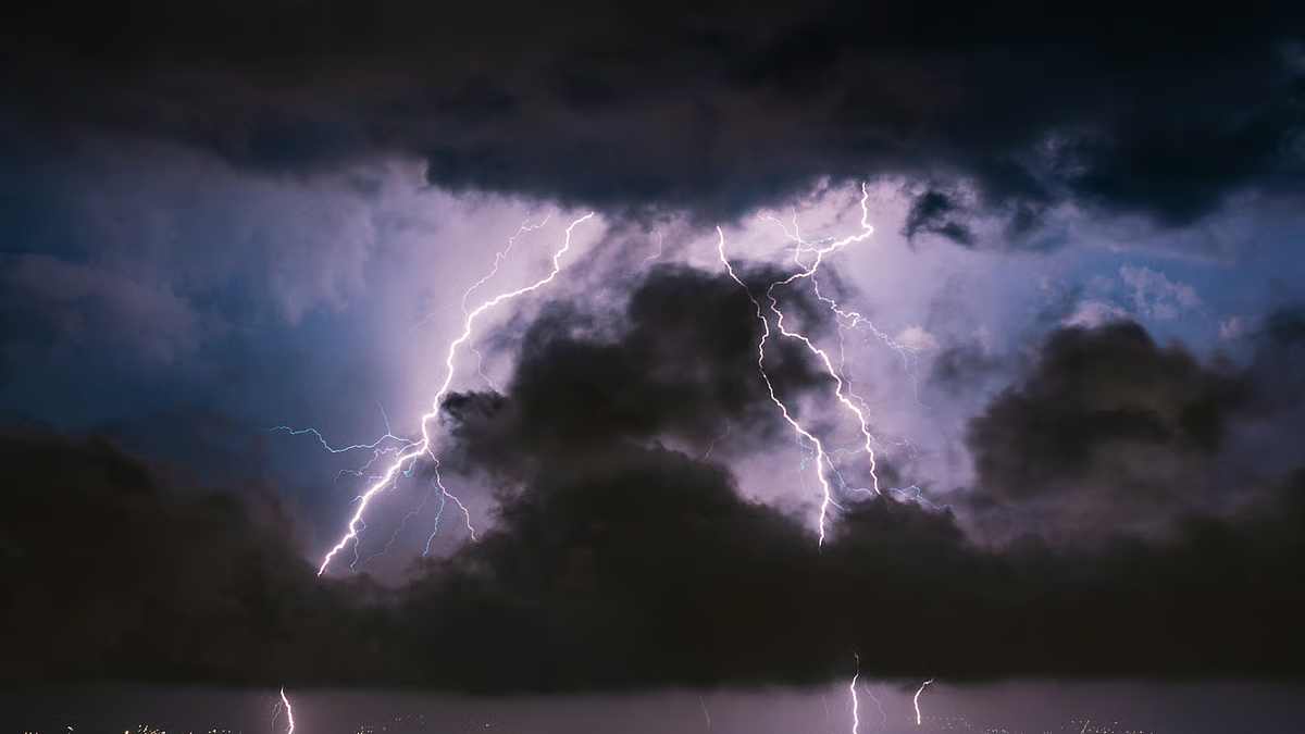
Kolkata's sleep was disturbed not only by rain but also by severe lightning. More than 200 lightning strikes were reported in Kolkata in just ninety minutes on Saturday between 1:30 and 3:00 AM. In addition, there have been over a thousand lightning strikes reported throughout the South Bengal region during this time.
The southwest monsoon has already begun retreating from the country's western extremities. However, the commencement of this farewell process for Bengal is not expected before October 12-13. Even in its final stages, the southwest monsoon is making its presence emphatically felt.
Meteorologists noted "heavy rainfall" occurs when an area receives at least 65 millimetres of precipitation in 24 hours. Saturday night was the sixth time this season that Kolkata had experienced significant rainfall by this metric. There was about 71 millimeters of rain in the city. According to data from the Alipore Weather Office, Kolkata has already seen four instances of heavy rainfall this year, once in July, once in September, and once in October. One of these occurred on the evening of September 22.
Explaining Saturday night's heavy rainfall in Kolkata, weather expert Rabindra Goenkha told EiSamay, “Low-pressure clouds had already accumulated in the North Bengal sky. Their influence is causing a substantial influx of water vapor into the mainland. This water vapor has been advancing over South Bengal. It is primarily due to this that cumulonimbus clouds are forming in various parts of South Bengal. On Saturday night, such a cloud mass had formed over Kolkata”.
And what accounts for the unusually high frequency of lightning strikes? Rabindra Goenkha explains, “Due to low wind shear or reduced wind speed in the uppermost layers of the atmosphere, the cumulonimbus layer was able to remain stationary for a considerable period. Consequently, lightning strikes occurred repeatedly over a specific area. As fate would have it, this cloud layer had accumulated directly over Kolkata”.
Is there a possibility of such events recurring before the monsoon season concludes?
Meteorologists are hesitant to make definitive statements on this matter. However, they have reported that satellite imagery shows Bengal and Northeast India currently blanketed by a dense cloud cover.
Due to the presence of a cyclonic circulation over Assam, the influx of water vapor from the sea continues unabated. Therefore, while light to moderate rainfall is expected over the next few days, the possibility of sporadic heavy rainfall cannot be entirely ruled out.