India is likely to experience unsettled weather conditions over the next few days, with thunderstorms, lightning and gusty winds predicted across parts of eastern, central and southern regions. According to the India Meteorological Department’s (IMD) bulletin issued on February 23 at 7:45 pm, a low-pressure area over the Bay of Bengal, along with multiple upper-air circulations and troughs, is currently influencing weather patterns across the country.
States likely to witness rain and thunderstorms
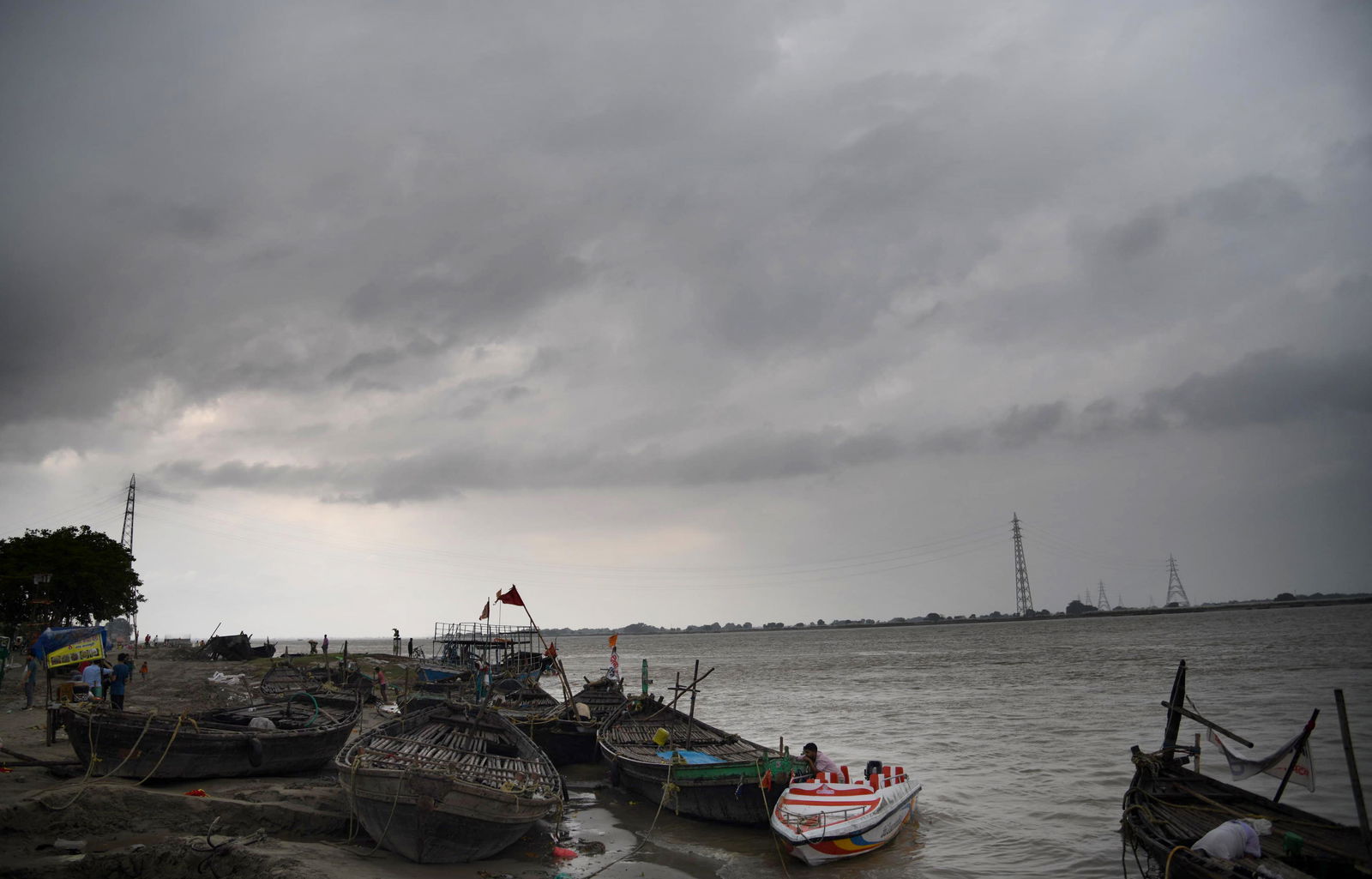
Odisha, Jharkhand, West Bengal, Assam, Meghalaya, Chhattisgarh, Madhya Pradesh, Telangana and the Vidarbha region of Maharashtra may experience short spells of rain, thunderstorms and gusty winds over the next one to two days. The Andaman & Nicobar Islands are also expected to witness thunderstorms accompanied by strong winds.
ALSO READ | Jharkhand air ambulance crash: All 7 onboard dead after Ranchi-Delhi flight goes down in Chatra
The IMD clarified that the low-pressure system is expected to weaken within 24 hours and is unlikely to intensify into a major storm or cyclone. Isolated thunderstorm activity with lightning is also likely over Assam, Meghalaya, Chhattisgarh, Madhya Pradesh, Sub-Himalayan West Bengal, Sikkim, Telangana and Vidarbha on February 24. These conditions do not indicate widespread heavy rainfall or flooding but rather scattered thunderstorms with sudden gusty winds.
From around February 26, scattered rainfall activity is forecast in Jammu & Kashmir, Himachal Pradesh, Uttarakhand, Kerala, Mahe, Arunachal Pradesh and Lakshadweep.
Temperature trends and weekly outlook
The IMD has projected a gradual rise in maximum temperatures by 2–3C over northwest India during the next four days, with no significant change thereafter. In contrast, Vidarbha and Chhattisgarh are expected to see a drop of around 2C in maximum temperatures over the next three days, followed by a gradual increase of 2–3C. Other parts of the country are not likely to witness any significant temperature change.
While thunderstorm activity is expected to remain largely confined to eastern, central and island regions in the short term, weather conditions across most of northern and western India are likely to stabilise after February 26. With the Bay of Bengal system weakening and the incoming western disturbance remaining limited in intensity, widespread severe weather appears unlikely. However, residents in affected regions have been advised to remain cautious, especially in areas vulnerable to lightning and strong winds.
ALSO READ | From Atal Setu to Yamuna Expressway: A look at India’s costliest toll routes
Travel advisory
Travellers to Odisha, Jharkhand, West Bengal, Assam, Meghalaya, Chhattisgarh, Madhya Pradesh, Telangana and Vidarbha should prepare for brief spells of rain and sudden gusty winds. The Andaman & Nicobar Islands may see temporary disruptions to boat services and water activities. Air travellers are advised to check flight schedules in advance, while road users should drive carefully during heavy showers.
Those visiting hill states such as Jammu & Kashmir, Himachal Pradesh and Uttarakhand after February 26 should monitor local road conditions and carry warm clothing due to possible rain or snowfall.