The southwest monsoon's advance across India has slowed significantly after an initially strong start, leaving several regions, including Mumbai, waiting for widespread rainfall. Weather experts say a combination of five atmospheric and oceanic factors is disrupting the monsoon's normal progression this year.
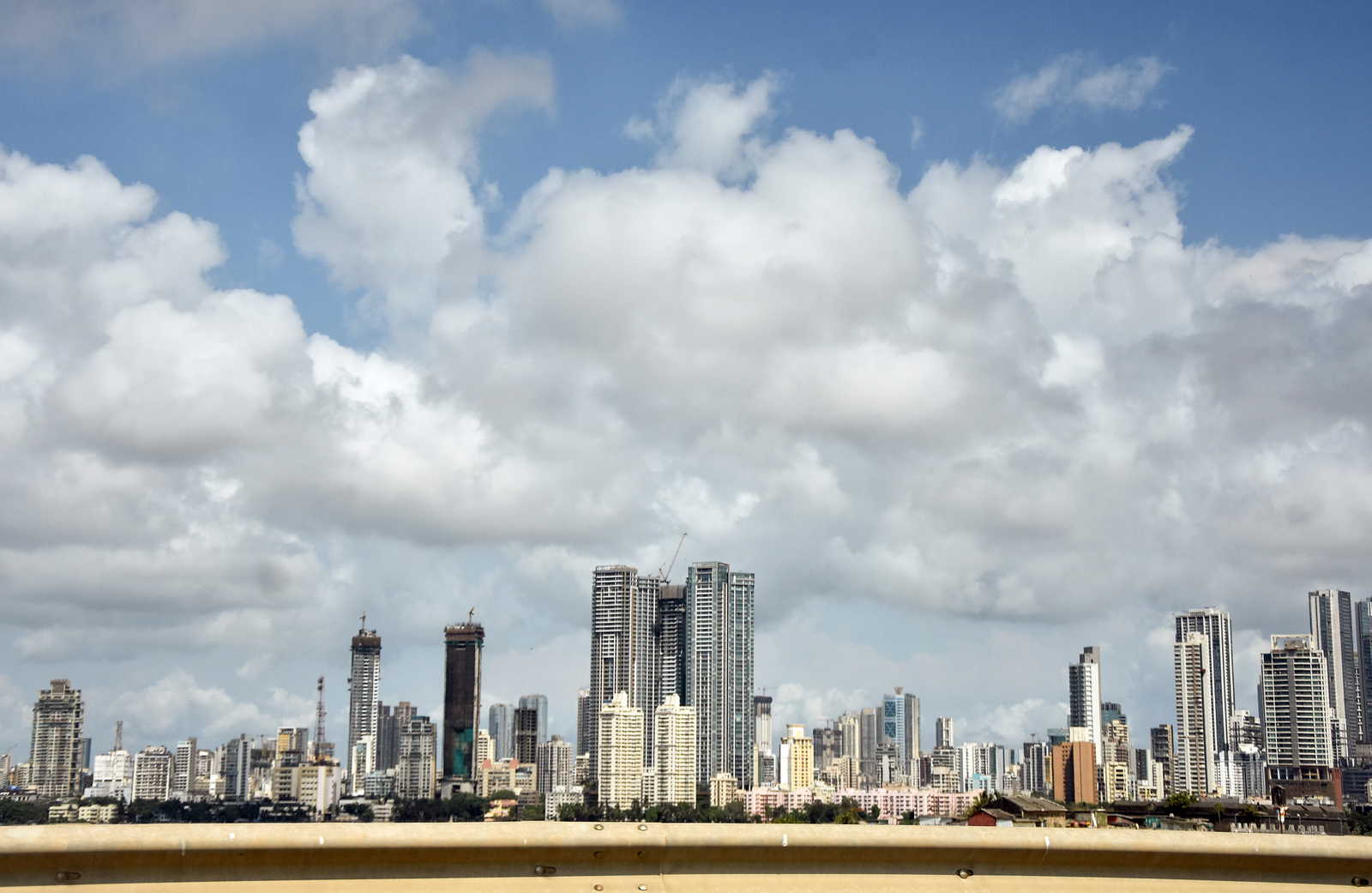
While Mumbai is always expected to get the monsoon by June 11, it has not seen it yet even as the monsoon enters the country this month and advances fast through many states. The slowdown according to the meteorologists is rather unusual because of the various weather systems at play within the country.
El Niño emerges as a major concern
One of the key factors affecting the monsoon is the development of El Niño conditions over the Pacific Ocean. El Niño occurs when sea surface temperatures become warmer than normal in parts of the Pacific, often weakening India's monsoon circulation and reducing rainfall activity.
Also Read | Centre vs Telegram: 'Shocking' evidence cited as Delhi High Court examines block order
Weather experts note that the developing El Niño pattern is already influencing atmospheric conditions, contributing to uneven rainfall distribution across different parts of the country.
Another factor limiting rainfall is the weak activity of the Madden-Julian Oscillation (MJO), a moving band of tropical clouds and storms that typically enhances rainfall when active over the Indian Ocean region. Its subdued presence in recent weeks has reduced support for monsoon cloud formation.
Dry winds and weak moisture flow add to concerns
The dry westerly winds blowing over north and north-west India have added to the already existing problems. The dry winds tend to keep the moisture content in the atmosphere at a lower level, which does not allow the formation and movement of rain clouds inside the country.
 Pexels
 Meteorologists have also found that the strength of the Somali Jet has weakened compared to normal. The Somali Jet is a wind system at lower altitude over the Arabian Sea and acts as a major medium for the flow of moisture into the country.
A factor adding to the problem is the absence of low pressure areas over the Bay of Bengal, which are responsible for bringing in the monsoon from the sea into the country.
Neutral IOD offers little support
The Indian Ocean Dipole (IOD), another important climate driver, currently remains in a neutral phase. While a positive IOD often supports stronger monsoon conditions, current ocean temperatures are not providing any additional boost to rainfall.
Experts have also observed that remnants of Pacific weather systems have failed to significantly strengthen conditions over the Bay of Bengal this June, limiting another potential source of support for monsoon circulation.
As a result, rainfall activity remains concentrated in parts of eastern and northeastern India, while several western regions continue to experience prolonged dry spells.
Forecast remains uncertain
Even with the monsoon weakening, weather agencies believe that the monsoon will slowly spread itself into other parts of eastern and central India in the coming days. However, meteorologists warn that the distribution of rain could remain unequal unless there are favourable atmospheric conditions.
Also Read | New heritage passport turns Delhi's monuments into a learning trail
Mumbai and other areas in western India will still have to wait before they experience the rain from the monsoon since the weather conditions have not changed.
FAQs
Q1. What causes the monsoon to be delayed in Mumbai this year?
Meteorologists believe that the delay is caused by several factors, such as the presence of El Niño, low MJO activity, dry westerlies, weak Somali Jet and the absence of low-pressure formations in the Bay of Bengal.
Q2. What is the Somali Jet?
The Somali Jet is the low-level airstream over the Arabian Sea that moves moisture to India. The Somali Jet becomes weak, hence reducing moisture movement and advancing southwest monsoon.