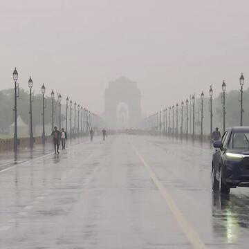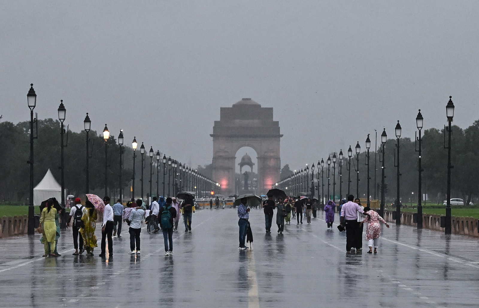
After enduring another spell of sticky heat and rising humidity, residents across Delhi and the National Capital Region may finally get a breather this week. The India Meteorological Department has predicted light rain, thunderstorms and cloudy conditions across Delhi, Noida, Gurugram and Ghaziabad over the next few days.
While the showers are unlikely to be widespread, they are expected to bring down temperatures marginally and offer temporary respite from uncomfortable weather conditions that have persisted across the region.
Even so, meteorologists have cautioned that these weather changes should not be mistaken for the arrival of the southwest monsoon.
Temperatures likely to remain below 40 degrees this week
According to IMD forecasts, Delhi's maximum temperatures are expected to hover between 37 and 38 degrees Celsius till June 25, while minimum temperatures may remain between 26 and 27 degrees Celsius.
Cloud cover is expected to dominate the skies, reducing the intensity of direct sunlight during parts of the day.
On Sunday, Delhi recorded a maximum temperature of 38.9 degrees Celsius, slightly above the seasonal average, while the minimum temperature settled at 28.8 degrees Celsius.
Although these figures remain high, the combination of cloud cover, gusty winds and intermittent rain could make conditions relatively more comfortable compared to previous days.
Neighbouring NCR cities are also expected to witness similar weather patterns.
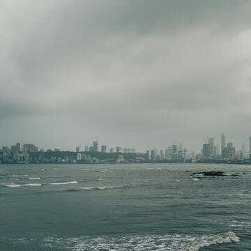
Also Read | Mumbai hit by heavy rain, orange alert issued ahead of monsoon arrival
Rainfall is not linked to the southwest monsoon
According to DD News, despite the changing weather, experts have clarified that the rainfall currently being witnessed in Delhi is not associated with the southwest monsoon.
Instead, these spells have been triggered by western disturbances affecting northern India.
The southwest monsoon typically reaches Delhi around June 27. However, weather experts believe that its arrival may be delayed this year and could extend into early July.
The situation is not limited to Delhi alone. Several parts of India, including Mumbai, have also witnessed slower-than-usual monsoon progress despite their normal arrival dates having already passed.
The delayed advancement has become a growing concern for meteorologists tracking seasonal rainfall patterns.
Also Read | Fake NEET paper claim under scanner after caller allegedly demanded ₹30,000 from Ajmer student leader
Rainfall deficit continues to worry forecasters
India is currently facing a significant rainfall deficit during the initial weeks of June.
According to IMD data, the country received only 51.5 mm of rainfall between June 1 and June 19, against the long-period average of 86.7 mm for the same period. This translates into a deficit of more than 41 per cent.
Delhi too has witnessed considerably lower rainfall this month.
Between June 1 and June 20, the national capital recorded just 22.7 mm of rain, far lower than last year's 88.01 mm during the same period.
With Delhi's normal June rainfall standing at 74.1 mm, weather experts will closely monitor the monsoon's progress over the next two weeks as the city waits for sustained rain and much-needed relief.