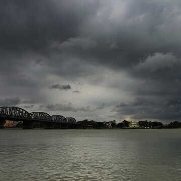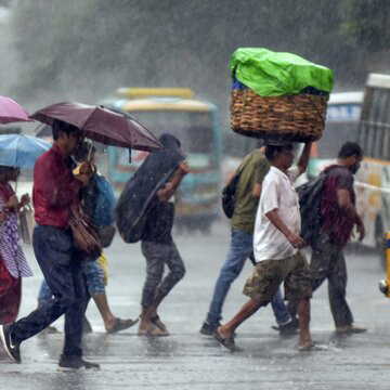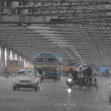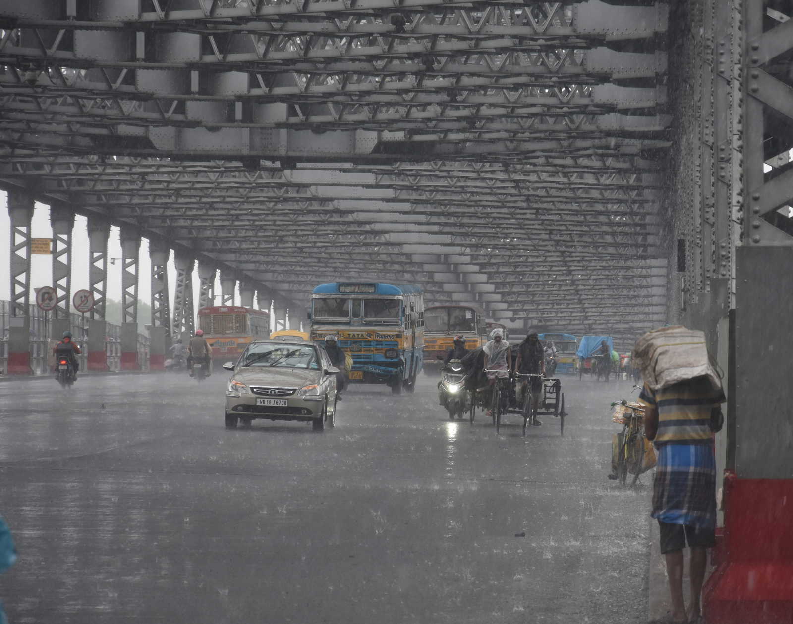
The India Meteorological Department (IMD) has placed several states under an orange alert for May 5, warning of heavy rainfall during the day. The alert covers Uttar Pradesh, West Bengal, Madhya Pradesh, Chhattisgarh, Jharkhand, Odisha and Andhra Pradesh. The advisory points to weather conditions across large parts of Northwest, Central and East India.
Alongside intense rainfall, the department has cautioned about scattered thunderstorms, lightning strikes, gusty winds reaching 40 to 60 kmph and possible hailstorm activity in isolated pockets. Residents in affected regions have been urged to remain alert and follow safety precautions.
Rain and thunderstorm forecast expands to North India
Weather activity is also expected to extend into northern states. According to IMD, “Scattered to fairly widespread light to moderate rainfall with thunderstorm, lightning & gusty winds (speed reaching 30-50 kmph) likely over Punjab, Haryana, Chandigarh & Delhi on 05th & 06th and on 10th and West Uttar Pradesh on 05th & 06th.”
Heavy rainfall warnings remain in place for Arunachal Pradesh on May 5, Sub-Himalayan West Bengal and Sikkim until May 6, and Bihar on May 6.
Also Read | Voting preparations expose water shortage, prompt quick fix at primary school in Medinipur
Hot and humid conditions in Southern and Western regions
While several regions brace for rain, parts of southern and western India will continue to face hot and humid conditions. Coastal Andhra Pradesh and Yanam are expected to experience such weather till May 6, while Rayalaseema may see similar conditions on May 5. Gujarat is likely to face heat between May 9 and 10, with Konkan and Goa also expected to remain warm over the next three days.
Temperature trends and western disturbance impact
The department has attributed current conditions to a western disturbance influencing atmospheric patterns. Maximum temperatures in Northwest India are likely to rise gradually by 4 to 6C between May 5 and 9. Central India may see a slight drop of 2 to 3C till May 6 before stabilising. Maharashtra is expected to record a gradual rise of 2 to 3C over the next three days.
Also Read | Four workers killed in coal dust collapse at BCCL washery, safety lapses alleged
Delhi weather update: Rain brings temporary relief
In the national capital, Safdarjung recorded a maximum of 32.2C on May 4, nearly 7.1C below normal. The IMD has lifted the earlier yellow alert but forecasts a cloudy sky with light rain and thunderstorms. The bulletin states, “Generally cloudy sky. A spell of very light to light rain accompanied by thunderstorm/lightning and strong surface winds, speed 20-30 kmph gusting to 40 kmph during the afternoon/ evening.”
Day temperatures in Delhi are expected to remain between 31C and 33C, while the minimum may hover between 18C and 20C, both below seasonal averages.
Given the unstable weather, IMD has shared key precautions for the public. People are advised to stay indoors during thunderstorms and avoid standing under trees. Electrical appliances should be unplugged during lightning activity. Those travelling are urged to drive cautiously and steer clear of waterlogged stretches. Loose outdoor objects should be secured to prevent damage during strong winds.