In a shift from the intense heat seen earlier this year, India is likely to experience a milder May, with day temperatures expected to remain normal to below normal across large parts of the country, the India Meteorological Department said on Friday.
The relative cooling will be driven by a higher frequency of thunderstorms and an uptick in western disturbances, according to IMD’s monthly outlook.
Also Read | Centre revises citizenship rules: Govt tightens dual passport norms for minors, brings OCI process online
Daytime temperatures, however, may still run above normal over parts of southern peninsular India, sections of the northeast and pockets of northwest India. Night temperatures are expected to stay above normal in many regions, though some parts of northwest and central India could see relatively cooler nights.
Thunderstorms and western disturbances to drive relief
IMD has observed an increase in western disturbances since March, aided by moisture incursion from the Arabian Sea.
Rainfall across the country in May is projected to be above normal, exceeding 110% of the long-period average (LPA). The LPA for May rainfall, based on 1971–2020 data, stands at 61.4 mm.
Most parts of the country are likely to receive normal to above-normal rainfall, except for some regions in east, northeast and east-central India, where below-normal rainfall is expected.
Heatwaves not ruled out
Despite the overall milder outlook, IMD has cautioned that heatwaves will not disappear entirely. Some regions, particularly the Himalayan foothills, including parts of Himachal Pradesh and Uttarakhand, along with northeast Bihar, Gujarat, Maharashtra and parts of the east coast, could see three to four more heatwave days than usual.
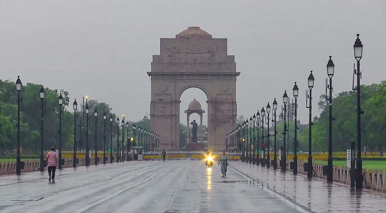
 Pedestrians make their way through a varnished road following a rainfall at Kartavya Path ANI
 Short spells of hot and humid conditions may also occur over northwest India ahead of the monsoon’s arrival, officials said.
IMD’s extended forecast indicates enhanced rainfall activity over east and northeast India until May 7, while northwest India could see higher temperatures during the second and fourth weeks of the month.
Climate signals: El Niño likely to develop
On the broader climate front, IMD said ENSO-neutral conditions are transitioning toward El Niño, with a 60% probability of its development between May and July. El Niño conditions are expected to persist through the monsoon season.
El Niño which is the warm phase of the ENSO cycle, typically weakens India’s monsoon rainfall. However, neutral Indian Ocean Dipole (IOD) conditions are currently in place, with models indicating a possible shift to positive IOD later in the monsoon, which can support rainfall.
Southwesterly winds are expected to strengthen over the Bay of Bengal around May 14–20. The monsoon typically sets in over the Andaman Sea around May 20.
Also Read | Not watermelon? Mumbai family deaths take shocking turn with poison angle
April paints a mixed picture
April rainfall across India was 11% below normal, though regional variations were stark. Northwest India recorded 7.4% excess rainfall, while central India saw 17.2% above normal precipitation.
In contrast, east and northeast India reported a 10.8% deficit, and the southern peninsula saw a sharp 51.1% shortfall, making it the seventh-warmest April on record for the region.
Extreme weather events during the month resulted in casualties across several states, including deaths due to lightning, heatwaves, dust storms, hailstorms and heavy rainfall.