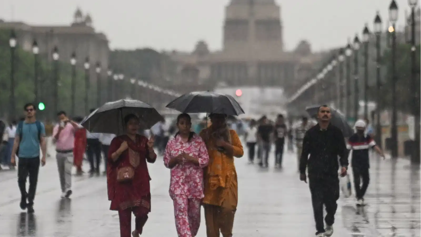
Delhi-NCR experienced its coolest April day in three years on Tuesday, April 7 as the region was lashed by rains for the second consecutive day on Tuesday. The day remained largely overcast, with occasional showers and strong winds ranging between 50 and 56 kmph, leading to darker skies and a noticeable dip in the mercury.
According to the India Meteorological Department (IMD), several parts of the city recorded light rainfall. Safdarjung and Lodhi Road received 3 mm each, while Palam and Ridge logged 2.1 mm. Ayanagar recorded 2 mm of rainfall during the day.
What caused the sudden weather change?
The shift in weather has been attributed to an active western disturbance. This system brought unstable atmospheric conditions over the region, resulting in rain, thunderstorms, and gusty winds. The interaction between this disturbance and warmer air over the plains created the conditions for these fluctuations.
Also Read | Delhi to spend ₹7 crore on guarding stalled hospital projects amid delay concerns
Weather experts indicate that similar patterns may continue for a short period due to the presence of successive western disturbances affecting north India.
Forecast for April 8
The IMD has issued a yellow alert for Wednesday, April 8. The day is expected to remain cloudy, with thunderstorms and intermittent spells of light rain. Strong gusts with a speed ranging from 30 to 50 kmph can be experienced, particularly in the afternoon and night periods. Additionally, some rain showers might also be expected in the morning period.
The maximum temperature may hover around 25-26 degrees centigrade, whereas the minimum temperature might lie somewhere between 16-17 degrees centigrade.
Also Read | Centre rolls out regularisation policy for 1,511 unauthorised colonies in Delhi
Heat set to return soon
This phase of relief will probably only last for a little while. Beginning on April 9, clear skies are predicted, and temperatures will begin increasing. During the days between April 9 and April 13, temperatures can range between 37 degrees centigrade on the upper end and around 20 or 21 degrees on the lower end.
Rainfall will start decreasing as the western disturbance becomes weaker. There will still be rainfall in some areas of Punjab, Haryana, and Uttar Pradesh for one more day until dry and warm weather sets in.