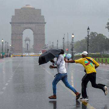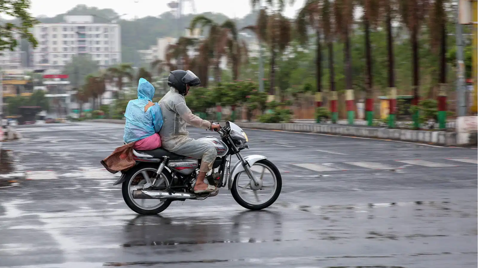
India’s southwest monsoon, which arrived earlier than expected and initially showed encouraging progress, has entered a weak phase, raising concerns across several parts of the country. With rainfall activity remaining subdued, the rain deficit is expected to widen further before signs of a revival emerge later this month.
According to the India Meteorological Department (IMD), the country received 34.3 mm of rainfall between June 4 and June 14 against the normal 47.7 mm, resulting in a nationwide deficit of 28 per cent.
Rainfall shortfall widens across key regions
Central India has recorded the sharpest decline, with rainfall running 55 per cent below normal levels. East and Northeast India are also facing a significant shortfall of around 40 per cent, per a report by News18.
Also Read | Pune to get water on alternate days from June 16 amid worsening shortage concerns
The southern peninsula has reported a relatively small deficit of 4 per cent, while Northwest India remains the only region with surplus rainfall, receiving 13 per cent more rain than normal during the period.
Several major agricultural states have been particularly affected. Gujarat has recorded a 75 per cent deficit, Maharashtra 69 per cent, Meghalaya 86 per cent, while Chhattisgarh and parts of central India continue to face substantial shortages.
Weak monsoon activity likely to continue
Meteorologists attribute the slowdown to unusually weak rain-bearing systems linked to changes in upper-level atmospheric circulation.
Although the monsoon has technically advanced into more areas of central and eastern India, widespread rainfall activity remains limited. The IMD expects the weak phase to continue at least until June 21, with most precipitation likely to come from localised thunderstorms rather than organised monsoon systems.
Parts of the Karnataka-Andhra Pradesh-Tamil Nadu border region and the Eastern Ghats may witness moderate to heavy rainfall accompanied by lightning and gusty winds over the coming days.
Revival expected in the second half of June
Weather conditions are expected to improve gradually after June 22.
Also Read | Why do some monsoon clouds rain and others don't? Scientists reveal the answer
Thunderstorm activity is likely to increase over interior Karnataka, southern Tamil Nadu and the Western Ghats between June 22 and June 28. Coastal areas of Kerala and Karnataka, along with regions extending towards Mumbai, could also receive enhanced rainfall.
A stronger monsoon revival is projected between June 29 and July 5, when more organised monsoon flows may bring heavy spells to parts of Kerala's Western Ghats and the Konkan coast.
El Nino remains a concern
The IMD has already forecast a below-normal monsoon for 2026 at around 90 per cent of the long-period average.
The current sluggish pattern coincides with the development of El Nino conditions in the Pacific Ocean, which are often associated with weaker monsoon performance in India. Nearly 200 districts are currently experiencing deficient rainfall as forecasters continue to monitor the situation closely.
Also Read | High tides up to 4.89 metre expected — Mumbai residents urged to stay cautious
FAQs:
What is India's current rainfall deficit?
The nationwide deficit stands at 28 per cent.
When is monsoon activity expected to revive?
A gradual revival is expected after June 22.