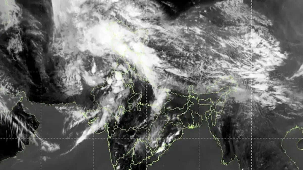
At a time when Bengal is battling scorching heat and relentless humidity this April, the skies over North and Northwest India are telling a completely different story. A massive cloud band stretching nearly 1,000 kilometres has blanketed the region, turning what should have been a steady rise in temperature into an unusual spell of stormy weather.
March has just ended and April has begun, typically a period when temperatures across North and Northwest India begin to climb. But this year, meteorologists warn that this enormous cloud formation could significantly disrupt the region’s usual weather pattern.
Rare sight in satellite imagery
Meteorologists are genuinely amazed by the satellite images capturing this vast cloud stretch, extending from Afghanistan through Pakistan into North India. According to data from the India Meteorological Department (IMD) in Delhi, the driving force behind this system is an extremely active Western Disturbance moving in from eastern Iran and Afghanistan.
This system has been further intensified by a cyclonic circulation over eastern Rajasthan. Acting like a booster, this circulation has strengthened the Western Disturbance. It has also pulled in large amounts of moisture from the Arabian Sea, feeding the cloud system and making it unusually dense and expansive.
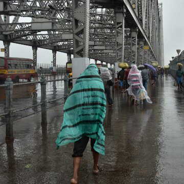
Also Read | Kolkata braces for hot, humid spell; temperatures likely to rise above normal
The result is a cloud mass stretching nearly 1,000 kilometres, creating highly unstable weather conditions across the region.
Weather experts note that the low-pressure axis of a Western Disturbance is usually curved. However, in this case, the axis has remained strikingly straight from Afghanistan to India, a rare phenomenon in meteorology. This unusual alignment has contributed to heightened atmospheric instability.
Disaster warning for North and Northwest
The weather office has warned that this massive cloud system could trigger widespread disruption across northwestern states. According to IMD forecasts, Jammu and Kashmir, Himachal Pradesh, Punjab, Haryana, and Rajasthan are likely to witness moderate to heavy rainfall, thunderstorms, gusty winds of 40 to 50 km per hour, and even hailstorms in isolated areas over the coming days.
Urban flooding and waterlogging may disrupt daily life, potentially leading to severe traffic congestion. However, the bigger concern remains agriculture, with fears of significant crop damage.
The impact of this system may also extend to Uttarakhand, Uttar Pradesh, Madhya Pradesh, and Chhattisgarh.
Also Read | IMD issues storm alert as heavy rain, hail and strong winds set to hit multiple states in next 48 hours
Will Bengal feel the impact?
Towards the end of March, Delhi recorded temperatures close to 37 degrees Celsius. This rain-bearing system has now brought temperatures down by 3 to 7 degrees, offering temporary relief.
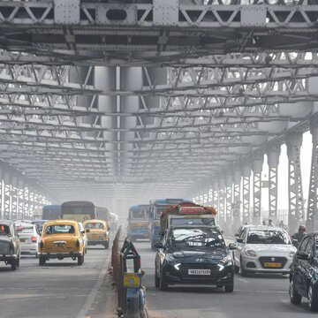
For Bengal, however, there is little respite in sight. Weather experts suggest that this Western Disturbance is unlikely to have a direct impact on the state. This means Kolkata and much of Bengal will continue to experience intense heat and humidity for now.
Even in North India, the relief may be short-lived. Meteorologists indicate that once this system weakens and moves away, temperatures are expected to rise again, bringing back typical summer conditions.
For now, residents across affected regions have been advised to stay alert and follow weather advisories issued by authorities until April 20.