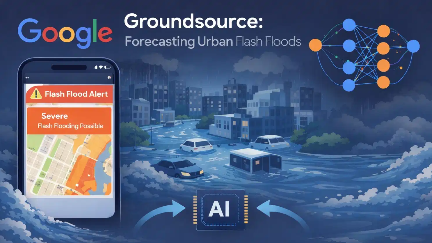
Google has introduced Groundsource, a new system designed to forecast flash floods in cities by analysing past flood reports and weather data.
The initiative, announced by Google, aims to help governments, emergency responders and local communities prepare for sudden flooding in densely populated areas.
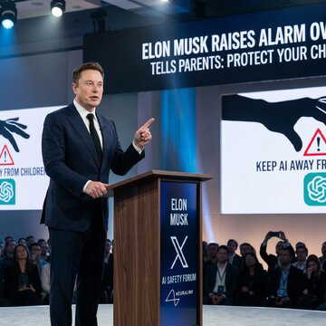
Also Read | Elon Musk raises alarm over ChatGPT, tells parents to keep AI away from children
In a blog post announcing the project, the company said Groundsource compiles historical flood information from news reports, government records and other public sources to identify patterns linked to urban flash floods.
System built on historical flood records
To build the database, Google used its AI model Gemini to scan decades of publicly available information.
The process identified more than 2.6 million flash flood incidents across over 150 countries by extracting references from news articles, public reports, government statements and social media posts.
Each event was then mapped using location data from Google Maps to determine where the flooding occurred. This allowed researchers to assemble a structured dataset focused specifically on flash floods in urban areas. Google then trained a forecasting model using a Long Short‑Term Memory neural network, which is designed to detect patterns over time.
Forecasts up to 24 hours before flooding
Once trained, the model compares historical flood patterns with real-time weather forecasts to estimate the likelihood of flash flooding in specific locations.
According to Google, the system can issue predictions up to 24 hours before a flood event in urban areas. The company said the goal is to give authorities additional time to issue warnings, prepare emergency services and reduce damage in flood-prone cities.
Google already provides river flood forecasts for more than two billion people across 150 countries, and Groundsource extends that work to flash floods in urban environments.
Also Read | Is the Royal Enfield Meteor 350 a good bike for daily commuting?
Possible use for other climate risks
The company said the Groundsource approach may also be used in the future to analyse other natural hazards, including landslides and heatwaves.
Researchers and urban planners could use the dataset to study how floods develop in cities and improve infrastructure planning. “By turning public information into actionable data, we aren't just analysing the past — we're building a more resilient future,” Google said in its blog post.